Students will provide a written report detailing measured impacts of Cleveland’s current and potential future plans that also details best practices for Cleveland to improve energy, environment, mobility, and communication within the city. This will include identification of strengths and weaknesses in relation to energy, environment, mobility, and communication development, as well as potential paths […]
Discipline: Geography
Foreclosure Recovery Impact in Brooklyn Park Neighborhoods
Assess the impacts of Brooklyn Park’s Foreclosure Recovery Program. Read the final student report delivered to the local gov/community partner. Resilient Communities Project Contact Info University Faculty Contact Ying Song Geography yingsong@umn.edu 612 625 2056 Local Government / Community Contact Erika Byrd Economic Development Specialist, City of Brooklyn Park […]
Read More… from Foreclosure Recovery Impact in Brooklyn Park Neighborhoods
Santee Water Qulity Project (2/2)
The principal objective of the Santee Water Quality Project is to identify hotspots of water contamination in Santee and determine if these hotspots change over time. To this aim, researchers in the Environmental Hydrology class at San Diego State University pursued existing water quality data and accessed digital elevation models and land use shapefiles to […]
Public Art map web overlay
This semester, the City has worked extensively on building an online platform capable of being used by the students to collect high accuracy GPS data from their own mobile devices. This approach uses new GPS receiver technology that is being lent out by the City of Bozeman GIS department directly to the students participating in […]
GIS Projects
Students will work with the Metropolitan Council on climate vulnerability and resiliency story maps of the Metro area and examine flood and heat data layers in the area. Project details coming in October! Read the final student report delivered to the local gov/community partner. Sustainable Communities Partnership Contact Info University Faculty Contact David Kelley Geography […]
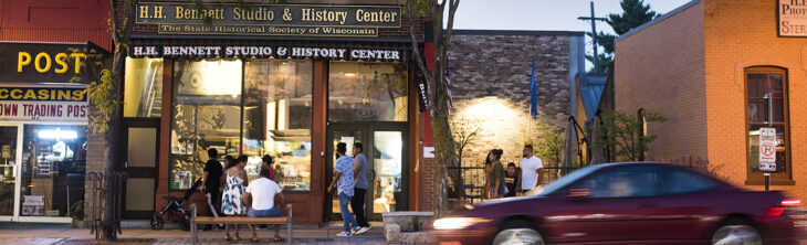
Walking Map of Historic Monona
Research and design a walking map of historic Monona. Read the final student report delivered to the local gov/community partner. UniverCity Year Contact Info Gavin Luter Managing Director gavin@cows.org 608-261-1141 University Faculty Contact William Gartner Geography Senior Lecturer william.gartner@wisc.edu (608) 890-3816 Local Government / Community Contact Brad Bruun Public Works Project Manager/GIS Specialist 608-222-2525 […]
Webster City GIS Wayfinding
As part of the ICIGO student organization within the Department of Geographical and Sustainability Sciences, students will examine wayfinding placement in Webster City, Iowa. They will be using Geographic Information Systems (GIS) tools to identify and recommend placement locations for signage within the city. Read the final student report delivered to the local gov/community partner. […]
Highland Cemetery Records Management Instructions and GIS Data
The idea behind this documentation is to help provide an easier way to manage burial records, specifically with which graves are unused, where each grave is located, and other information about the person if the plot is used. The hope was to help to move away from paper data and make the storage of this […]
Read More… from Highland Cemetery Records Management Instructions and GIS Data
Walking Map of Historic Monona
Research and design a walking map of historic Monona. Read the final student report delivered to the local gov/community partner. UniverCity Year Contact Info Gavin Luter Managing Director gavin@cows.org 608-261-1141 University Faculty Contact William Gartner Geography Senior Lecturer william.gartner@wisc.edu (608) 890-3816 Local Government / Community Contact Brad Bruun Public Works Project Manager/GIS Specialist 608-222-2525 […]
Towards Safe, Efficient Transportation Networks
Identify and map unsafe transportation cooridors in Monona Read the final student report delivered to the local gov/community partner. UniverCity Year Contact Info Gavin Luter Managing Director gavin@cows.org 608-261-1141 University Faculty Contact A-Xing Zhu Geography Professor azhu@wisc.edu (608) 262-0272 Local Government / Community Contact Brad Bruun Public Works Project Manager/GIS Specialist 608-222-2525 […]
Read More… from Towards Safe, Efficient Transportation Networks