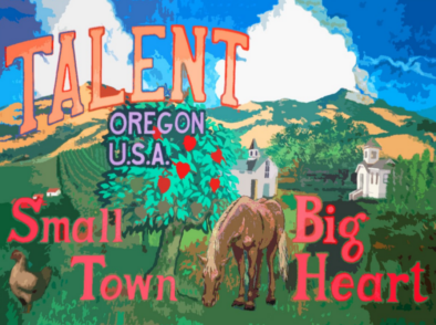
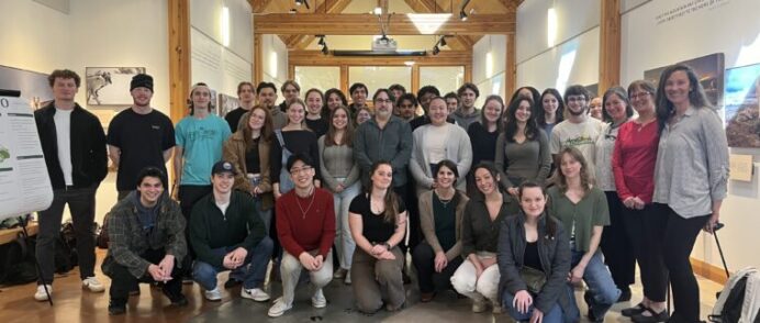
The Green Cities course examines the history and future of the interface between urban growth and environmental concerns, and the technological, social, and political forces that continue to shape it. Students in the 2021 Summer Quarter “Green Cities” course organized, conducted, and analyzed citizen interviews with the use of the questionnaire designed to help understand […]
Read More… from City of Talent Citizen Involvement Survey

This report discusses the Asset-based Community Development project conducted between March 1st and May 30th, 2022 in Hermiston, Oregon. The purpose of the three- phase project is to better understand the city’s assets as well as gaps in public service provision. Through an environmental scan, a survey, and a focus group, five investigators from Eastern […]
Read More… from Creating Shared Knowledge: An Asset-based Community Development Project in Hermiston
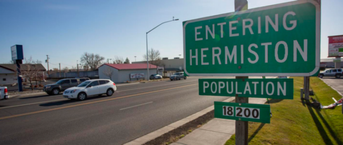
The City of Hermiston is a growing town located in the northeast part of Oregon. In the early 2000s, Hermiston had a population of about 13,000 people. With more homes and schools under construction, the town expects to reach a population of 20,000 in the next decade. Hermiston is a small town, and with a […]
Read More… from North Hermiston Local Circulation Plan

The goal of this report is to understand the existing information ecosystem in Hermiston and Hermiston residents’ information needs. Recommendations emphasize how the City of Hermiston and other local entities can improve information flow. The Engaged Journalism class conducted a survey, led four facilitated conversations, and visited the site to better understand and meet the […]
Read More… from Information Needs Assessment for the City of Hermiston
How can cities become more sustainable, resilient, and regenerative? This question is the foundation for studies in the “Green Cities” course that examines the history and future of the interface between urban growth and environmental concerns, and the technological, social, and political forces that continue to shape it. (Green Cities syllabus) The course is within […]
Read More… from Green Cities: City of Hermiston Visioning, Planning, and Design

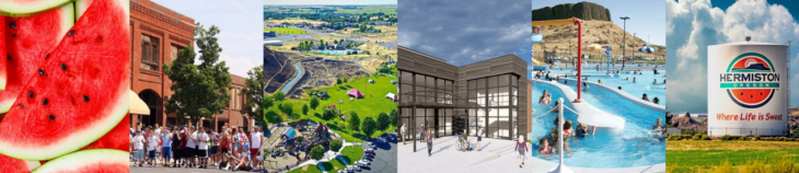
Recent economic investment of some of the largest companies in the US make Hermiston the fastest growing city in Eastern Oregon. As a result, Hermiston is experiencing rapid change in population growth and urbanization of rural land. The city of Hermiston presented students with the opportunity to present ideas for a site that is experiencing […]
Read More… from Building a Neighborhood: Community Development Strategies for North Hermiston
This report evaluates alternatives to fund a new area Health, Wellness, and Aquatic Center located in the city of Hermiston. Funding options that students evaluated included: • Create a special park and recreation district • Create anintergovernmental entity • Place construction and management of facility under the Hermiston Parks and Recreation Department To evaluate these […]
Read More… from Financing an Aquatic Center: Health and Wellness in Hermiston
The City of Salem sought recommendations on how to increase Electric Vehicle (EV) charging infrastructure and access. Recognizing the importance of a well-rounded and evidence-based approach, the student teams employed a variety of methodologies, including Geographic Information Systems (GIS) analysis, literature reviews, case studies, and interviews with key stakeholders. Based on this research, the students […]
Read More… from Recommendations for Increased Electric Vehicle Access and Adoption in Salem, Oregon
In response to the City of Salem’s goal of identifying park service area delineation methods that would facilitate a more equitable and accessible park system for residents, Spatial Justice Seminar students analyzed equity and delineated potential park service areas in Salem. Throughout the term, students explored what spatial equity meant, reviewed precedent studies, completed observational-based […]
Read More… from Salem Parks Equity & Service Area Report

Students were tasked with the opportunity to design a campaign to educate Salem residents on heat pumps and their benefits to support the city’s sustainability initiatives. The overarching goal of the campaign was to increase awareness of heat pumps and an understanding of their benefits in Salem. To achieve this goal, students developed a strategy […]
Read More… from Pump Up Salem