Partnership Spotlight: Hat Yai Municipality and Thammasat University Partnered to Collect GIS Data on Public Green Spaces
Hat Yai Municipality plans to transform itself into a “Green City” while developing protocols to deal with its vulnerabilities. Even before COVID-19 impacted the municipality, it was already facing extensive challenges due to climate change and its location and elevation. The municipality plans to embrace flexibility in future urban design, taking potential disruptions into account. More specifically, Hat Yai intends to:
- Increase green public space in the city from 36 percent to 40 percent by 2027.
- Reduce their urban greenhouse gases emission by 10 percent as compared to the level of emission from normal operations (Business As Usual: BAU) in 2020
- Reduce energy consumption by at least 10 percent in 2027 and increase the use of renewable energy by at least 10 megawatts from 2020.
- Eliminate deaths from flooding events.
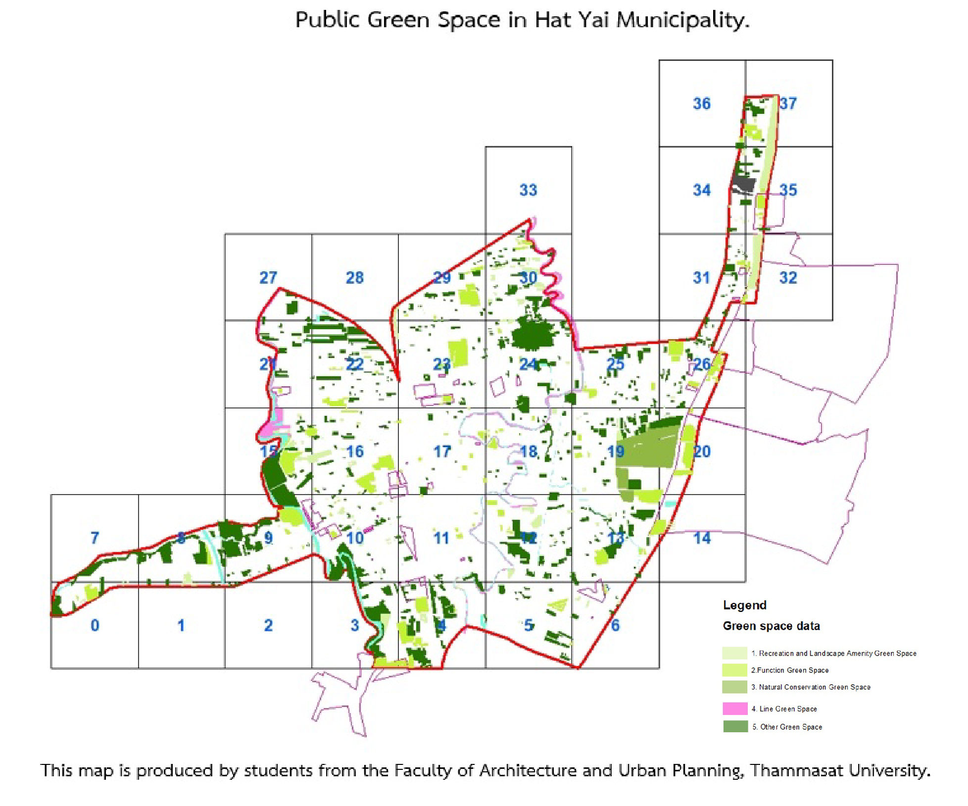
Hat Yai Municipality lacks Geographic Information System (GIS) data on existing green public space. A GIS database could visualize the area’s current conditions to assist the municipality in its formulation of future development plans. To help gather GIS data for this reason, Hat Yai Municipality collaborated with the academic sector by adopting the EPIC Model, partnering with Thammasat University, to actively enable students to participate in real-world learning while assisting the municipality. Under the guidance of their lecturers from the Department of Architecture and Urban Planning and experienced urban planners employed by the municipality, students collected information to benefit the city in achieving its vision.
Between 2021 and 2022, several courses in the Department of Architecture and Urban Planning were identified for this collaboration, but students and lecturers from two courses were chosen for this first pilot stage. The courses were the Dissertation Course in the Master of Urban Environmental Planning and Development Program and the Dissertation Course in the Ph.D. Program on Integrated Science of Built Environment.
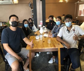
Using the knowledge and skills they gained in their classes, the students conducted several meetings with important stakeholders, including the municipality head of urban planning and town planners. The students assisted in the classification of data by identifying the definition of public green space that best fits the local context. The students also conducted knowledge exchange workshops with students from the Rajamangala University of Technology Srivijaya, a local university based in Songkhla, before the site survey. The students conducted three days of site visits in February. An aerial photo and information from the site survey was used to digitalize the data. To complete the Public Green Space GIS, overlay and spatial analysis techniques with other vital data were curated from relevant national-level departments, including the Department of Lands, Land Development Department, and the Treasury Department.
While more time and input will be needed to complete the Public Green Space GIS, the Hat Yai municipality was impressed with what was accomplished by the first two courses between October 2021 and February 2022. The students involved in this project were glad to know that their work can spur the sustainable development of the city.
Learn more about this partnership here.
Access Full Project Reports
Many of the EPIC-N Member Commons Project Library entries include links to the full reports generated for each distinct project. Sign up for a free EPIC-N membership to gain access to the full project reports (and other project examples).
You can use your account to explore other resources available to help you adopt the EPIC Model in your own college or university, city, county, special district, or community group.
Becoming a member of the EPIC-Network is easy and free (for a limited time). To join, simply create an account. After creating your account, use the “Request Support” button to set up meetings with EPIC-N Support Staff.
Feedback
EPIC-N is committed to continuous improvement and providing quality resources to our members. If you have recently used the “Who’s in the Network” resource, please complete this quick form.