The Centre County Conservation District (CCCD) is the County’s resource for issues relating to the maintenance and conservation of natural resources in the county. They work with county stakeholders to address and mitigate impacts on the natural environment and serve as a liaison to other agencies. One of their core functions is to educate the […]
Read More… from Community Events Planning for Centre County Conservation District

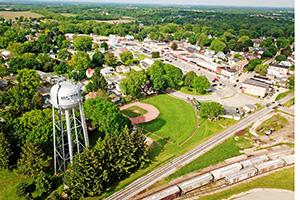
The Borough of State College does not have a designated arts organization or a cultural district. Instead, art and cultural activities are managed by a variety of organizations, including a well-established arts festival (Arts Fest) in the summer, a number of non-profit and/or Penn State owned venues, and regional organizations. State College would like to […]
Read More… from Creating an Arts and Culture District in State College Borough
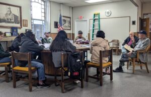
The Borough of State College has been working on a variety of initiatives to better engage residents with the borough, and to help build community across age groups, neighborhoods, and town & gown. One initiative they’re considering is hosting a regular Lunch & Learn gathering that would bring residents, borough employees, and others together to […]
Read More… from Lunch and Learn Analysis for State College Borough
The State College Borough would like to explore possible approaches to helping reduce tenant and landlord conflicts and is interested in learning how other communities address these issues. They’re especially interested in learning about other communities’ experiences with holding workshops for tenants and/or landlords, and the best practices for doing so. In addition, they’re interested […]
Read More… from Tenant-Landlord Resources in State College Borough
The Mukilteo Public Works Department is currently modernizing its asset tracking system. One major component is mapping all of the city-maintained road signs throughout the city and determining the condition as well as the need for replacement. City staff will train the CEP student team in the subject matter, and students will survey the city […]
Read More… from Sign Inventory and Mapping
The Mukilteo GIS department is currently developing an online historic walking map. They are interested in expanding this project to include city recreational opportunities, points of interest, and other features to encourage tourism and economic development in the city. The CEP student team will partner with the City to further develop this tool and advise […]
Read More… from Community Mapping Project
The City of Mukilteo relies on a Parks, Recreation, Open Space, and Arts (PROSA) Plan as one of its major policies directing the development of parks and recreation programs. Following our comprehensive plan update, the city needs to update its 2017 PROSA plan to better align with the city’s policy direction and meet certain grant […]
Read More… from Parks, Recreation, Open Space, and Arts Plan Update
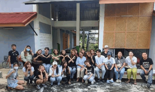
The Puey Ungphakorn School of Development Studies (PSDS) at Thammasat University is partnering with Rangsit City Municipality, Baan Poonsuk Shelter, and the National Housing Authority to address homelessness and improve the quality of life for vulnerable residents. The community-identified need focuses on food security, mental health support, and livelihood development for unhoused populations. University assets […]
Read More… from Creating an Ecosystem of Support for the Unhoused in Rangsit City Municipality