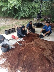
CampusRoots is a sustainability-driven initiative led by Professor Dr Che Zalina Zulkifli with the EduGreen Centre Student Committee at Universiti Pendidikan Sultan Idris (UPSI), in strategic partnership with Urbanest Sdn. Bhd., PPD Bagan Datuk Perak, MARDI an eco-focused industry and local governments collaborator. This project embodies the principles of the EPIC-N model, integrating academic knowledge, […]
Read More… from CampusRoots: EPIC-N Composting for Sustainable Living
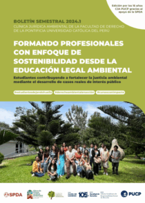
En este primer semestre del 2024, la Clínica Jurídica Ambiental de la PUCP ha reafirmado su compromiso con la educación legal ambiental y la defensa de la justicia ambiental en el Perú. A través del análisis y desarrollo de casos reales, los estudiantes han puesto en práctica estrategias jurídicas para la protección del medio ambiente, […]
Read More… from Boletín 2024.1
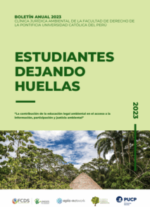
Durante el año 2023, la Clínica Jurídica Ambiental de la PUCP consolidó su compromiso con la educación legal ambiental y la defensa del derecho a un medio ambiente saludable. A través del trabajo interdisciplinario de estudiantes, docentes y voluntarios, se abordaron diversas problemáticas ambientales de relevancia nacional e internacional, impulsando el acceso a la justicia […]
Read More… from Boletín Anual 2023
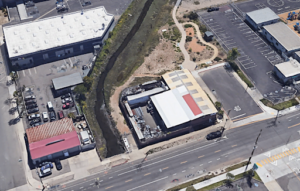
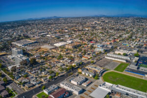
The National City Paradise Creek expansion project is intended to expand Paradise Creek wetland protection and meet community needs by designing an alternative land use for the welding shop on West 18th Street in National City, CA. The goals of this project include minimizing stormwater runoff, reducing stream degradation, preserving the wetlands and open space, […]
Read More… from Paradise Creek Wetland Expansion in National City, CA

We designed a project that combines a large bathroom space with a coffee shop and a community events area upstairs. The multiple-stall area is designed to provide easy access, safety, and a non-claustrophobic environment for people of all ages and genders. Families can visit the public restroom and coffee shop after visiting the nearby Paradise […]
Read More… from Paradise Creek Public Restrooms and Coffee Shop
The project reported here represents community partnership work between the city of National City and San Diego State University (SDSU) students. Operating under the university’s Center for Regional Sustainability with grants from the US Environmental Protection Agency (EPA) and the California Department of Toxic Substance Control (DTSC), the SDSU Brownfields Project intends to identify and […]
Read More… from National City Comprehensive Brownfields Reuse Plan
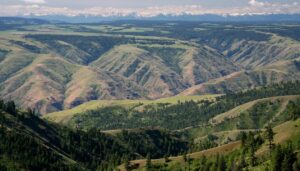
Rural areas of the western United States are often dominated by public lands. Eastern Oregon is no exception with vast areas designated as National Forests, BLM lands, wilderness areas, wildlife areas, as well as state-owned lands. Members of the Blues Intergovernmental Council (BIC) were interested in how the management of our National Forests impacts the […]
Read More… from Blues Intergovernmental Council
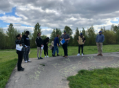
In response to the City of Salem’s goal of identifying park service area delineation methods that would facilitate a more equitable and accessible park system for residents, Spatial Justice Seminar students analyzed equity and delineated potential park service areas in Salem. Throughout the term, students explored what spatial equity meant, reviewed precedent studies, completed observational-based […]
Read More… from Salem Parks Equity & Service Area Report
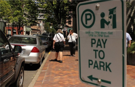
In November 2022, the Oregon Department of Land Conservation and Development issued parking reform for cities with populations above 5,000 to address the financial and environmental burdens of parking mandates. In addition to reforms that all included cities must make, the cities with populations over 100,000 must choose between eliminating parking mandates or adopting pricing […]
Read More… from Let’s Start Counting! A Methodology to County On-Street Parking Spaces in Oregon Cities
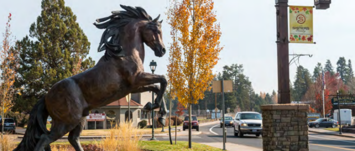
Over fall term 2022, Community and Regional Planning graduate students worked with the City of Sisters to design a research based redevelopment proposal for the Sisters Elementary School and Sisters School District administration building site. Students analyzed potential opportunities and challenges of revitalizing these two adjoining properties through three different lenses: 1) age friendly neighborhoods; […]
Read More… from A New Future for the Sisters Elementary School Site