Partnership Spotlight: An Giang University Partnered With Long Xuyen City to Map Inundation Areas
The provincial government of An Giang Province is constantly looking for innovative approaches in line with sustainable urban development. The government sought to generate an informed database for future growth with aims at mapping inundation areas for sustainable drainage and waterlogging management. With a better drainage system and flood management, the provincial government can proceed with the long-term development of Long Xuyen following the Smart Water City Vision 2035, transforming it into a climate-resilient hub of the Mekong Delta.
Through the EPIC Model and a seed grant from the United Nations Environmental Programme – Global Adaptation Network (UNEP-GAN), students and lecturers from An Giang’s University Department of Rural Development worked with the local government to achieve the SMART Water City Vision. More specially, they worked with local authorities to draw a map in identifying flooding areas in Long Xuyen.
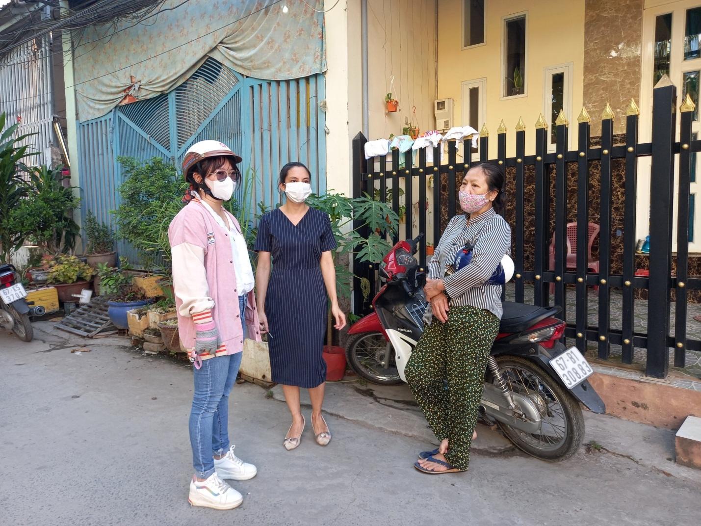
To complete the project the municipality and university partners hosted a “Stakeholders Workshop” inviting the targeted groups and future beneficiaries to discuss the partnership.
Secondly, city partners, including urban water planners, environmental management officials, hydrometeorological officials, public infrastructure officials, experts and communities representatives, were invited to attend online and offline meetings to identify priority selection criteria for vulnerable areas of the project sites and the preliminary and final design.
The project strengthened the capacities of students and local ward authorities in mapping by GIS application. Moreover, it provided a more significant opportunity for students to engage in project activities to practice what they had learned in class. This project is also a meaningful exercise for both the city and the experts from the university to hear the voices of the people who suffered from flooding and have to undergo future development.
Towards the end of the 6-month project, the updated map of flood inundation and water pollution in Long Xuyen City produced essential data for urban flooding management planning by 2025.
Read the rest of this Partnership Story here.
Access Full Project Reports
Many of the EPIC-N Member Commons Project Library entries include links to the full reports generated for each distinct project. Sign up for a free EPIC-N membership to gain access to the full project reports (and other project examples).
You can use your account to explore other resources available to help you adopt the EPIC Model in your own college or university, city, county, special district, or community group.
Becoming a member of the EPIC-Network is easy and free (for a limited time). To join, simply create an account. After creating your account, use the “Request Support” button to set up meetings with EPIC-N Support Staff.
Feedback
EPIC-N is committed to continuous improvement and providing quality resources to our members. If you have recently used the “Who’s in the Network” resource, please complete this quick form.