UW-Madison students identify ways Monona can improve pedestrian and cyclist safety
By investigating and auditing Monona intersections and roadways, students were able to create recommendations to improve transportation safety for drivers, pedestrians, and cyclists
Metrics
Community
City of Monona, WI, United StatesCommunity Size
8,045 (2018 Census Estimation)University
University of Wisconsin - MadisonProgram
UniverCity YearYears
2016/2017Status
CompletedCase Type
Project StoriesRegion
EPA Region 5, USARegional and urban planning experts have begun giving more attention to constructing livable cities—cities planned and constructed to improve the quality of life of a community’s residents. Beyond the quality of local schools and relevancy of cultural life, many people look for walkable neighborhoods, considering them highly valuable for the benefits they provide, which include: increased physical health and wellbeing of residents, increased economic activity, and increased community pride.
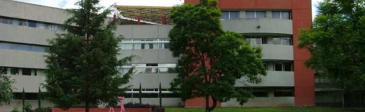
Located in Dane County, Wisconsin, the City of Monona is a community of nearly 8,000 residents with over 330 acres of green space, including parks, woodlands, and wetlands. Yet, despite so much green space, the city receives a lot of daily traffic thanks to being surrounded by the City of Madison whose population tops 250,000. Monona city planners have begun trying to pinpoint unsafe areas throughout the city in order to implement strategies for improved safety for all residents and future projects.
The UniverCity Year program of the University of Wisconsin-Madison, an EPIC-Network member, was created to help local government and community partners with identified sustainability and livability projects. Participating University faculty incorporate community-identified projects into classes, and provide students with on-the-ground experience in support of a more sustainable and livable future for the partnered community.
During the 2016 to 2017 academic year, the City of Monona was chosen to partner with the UniverCity Year program due to its proximity to the university and for strong support from Mayor Bob Miller.
Professor A-Xing Zhu’s students identify Monona transportation risks
The UniverCity Year program partnered UW-Madison’s Geography 578: GIS Applications course with the City of Monona to analyze the city’s then-current network active transportation infrastructure, along with ways it could be improved. At the direction of Professor A-Xing Zhu, students evaluated and identified unsafe areas within Monona’s current transportation system.
The class split into two groups, one of which investigated Monona’s existing transportation routes that featured unsafe areas for pedestrians and cyclists, while the other group—thanks to resident interviews and literature reviews—conceptualized how to make the city a more pedestrian-friendly environment. The former group analyzed variables that posed risks to pedestrians, which included:
- Traffic speed
- Traffic volume
- Slope of the terrain
- Incidence of previously reported bicycle versus motor vehicle or pedestrian versus motor vehicle accidents
- Absence of bike lanes or sidewalks
Recommendations tailored to increase driver, pedestrian, and cyclist safety
Students provided numerous recommendations through which the City of Monona could lower risk for both pedestrians and cyclists while improving the efficiency of existing bike, pedestrian, and transit infrastructure. The primary finding of students was that speed and traffic volume—vehicular, pedestrian, cyclist—lead to more accidents. With this, and other results in mind, students produced the following recommendations:
- Monona should consider adding painted lane markers and signage on routes with fast and heavy traffic to improve to improve overall visibility
- Sidewalks should be added to identified sections of Winnequah, Frost Woods, and Bridge Roads to improve the efficiency of pedestrian travel
- The integration of public transportation and access could shed more light on other factors affecting resident’s stress while traveling
- Monona should develop a more intricate scoring system that can more appropriately analyze different traffic speeds and volumes and bike lanes
The recommendations provided to the City of Monona clearly found that to improve city livability, municipal officials should lower safety risks among transit routes most often traveled by pedestrians and cyclists while expanding the number of origins and destinations within the city’s transportation network. With notable upgrades, Monona can effectively improve both the safety and efficiency of its transportation networks.